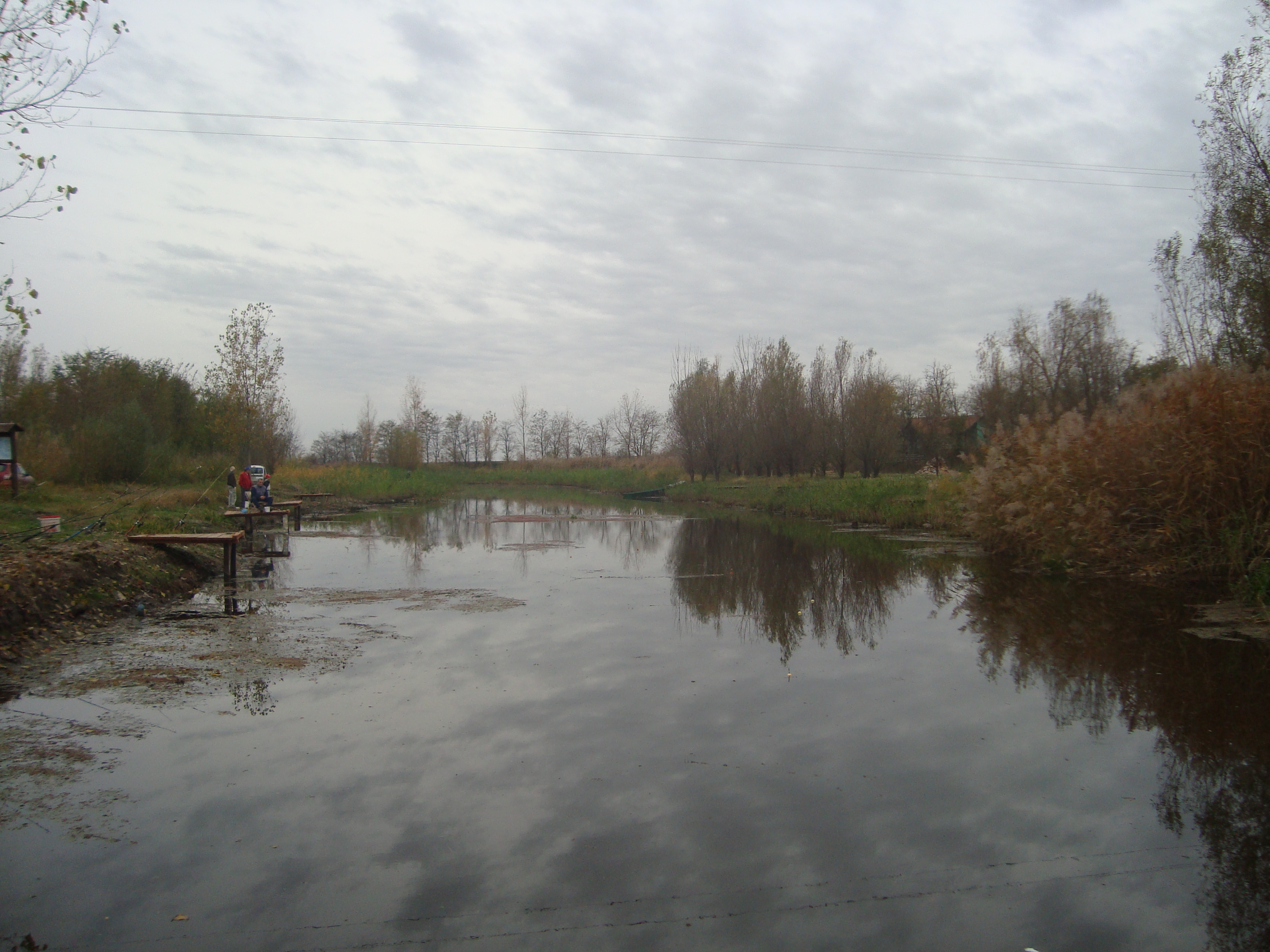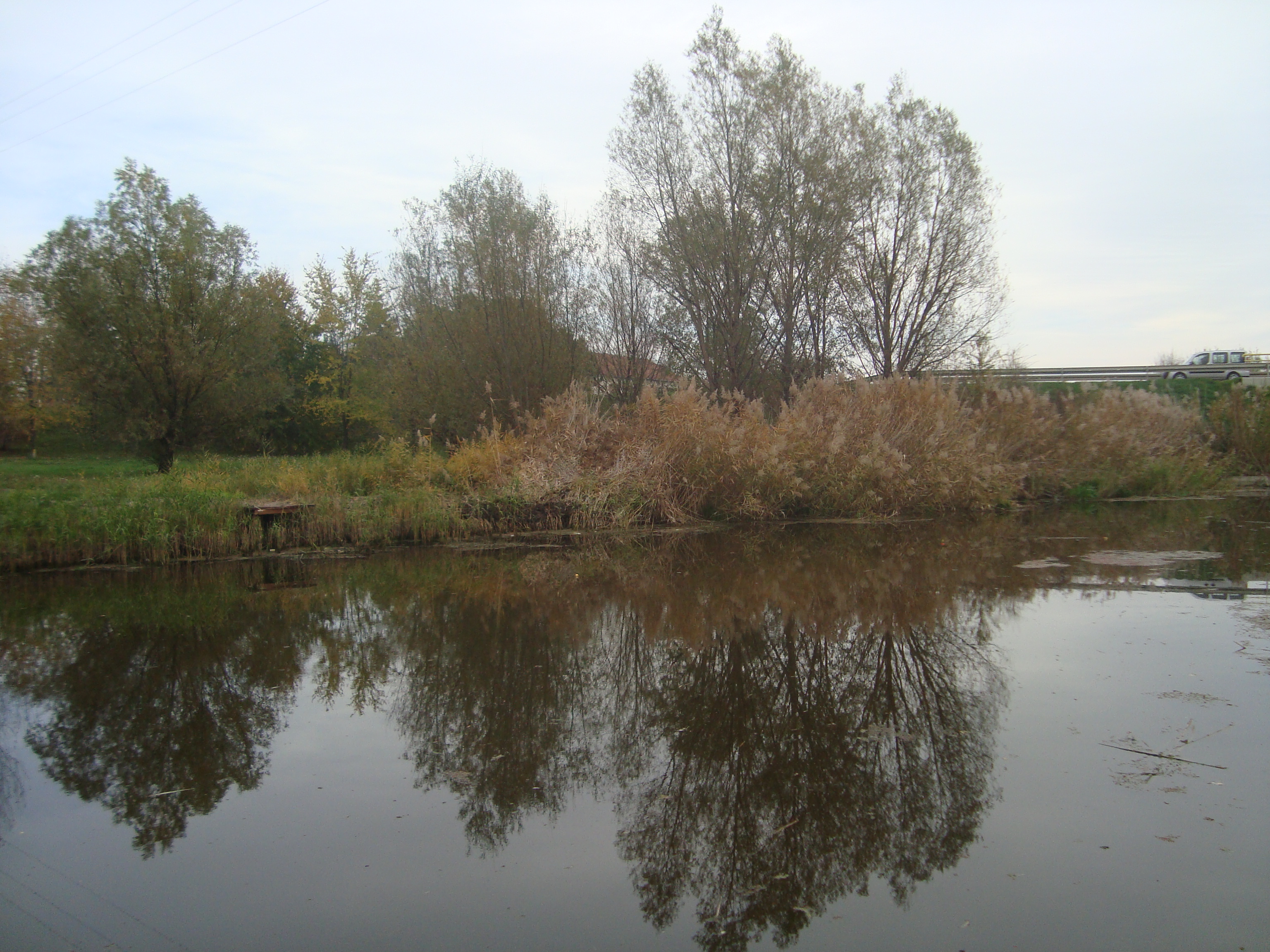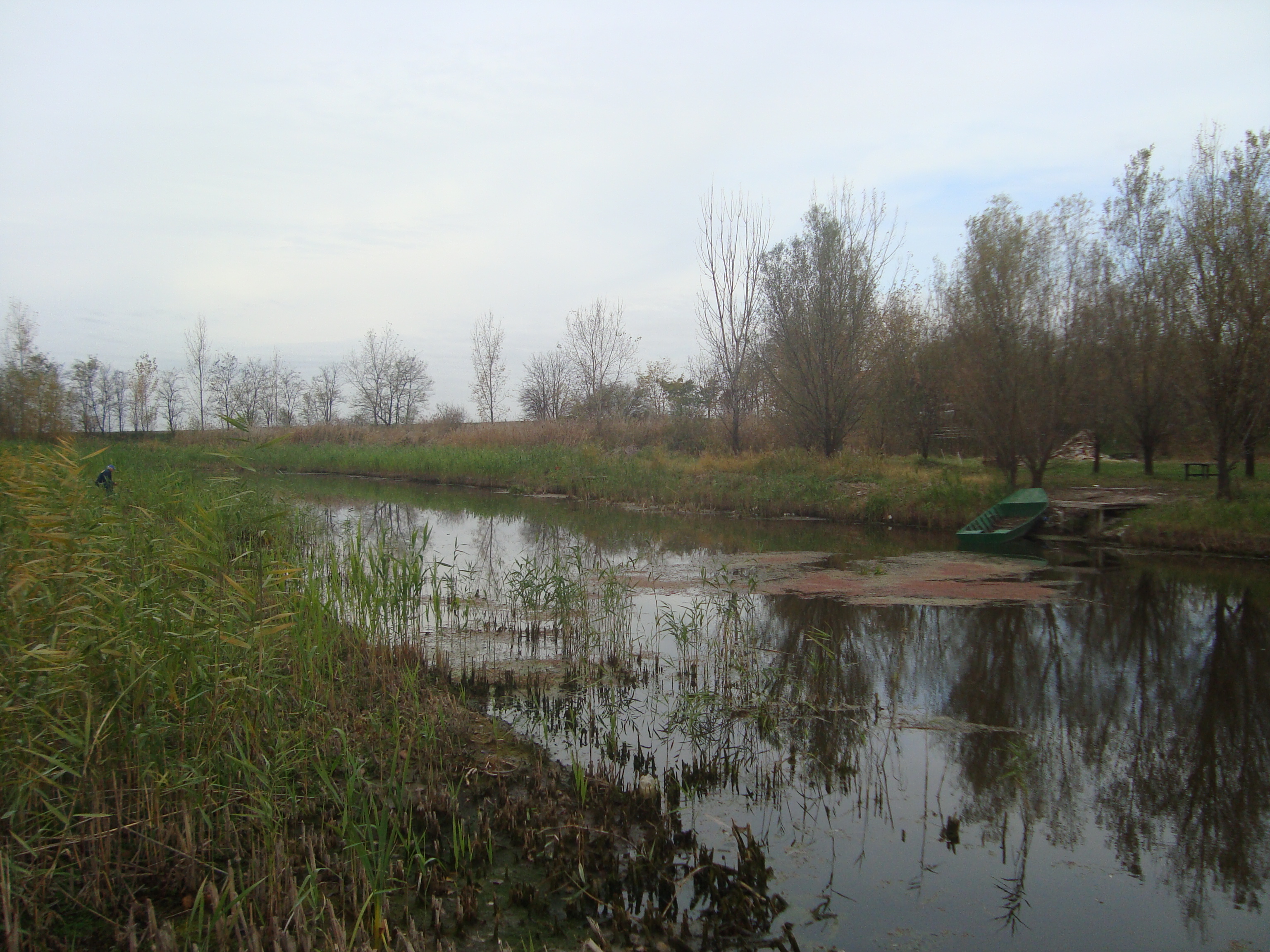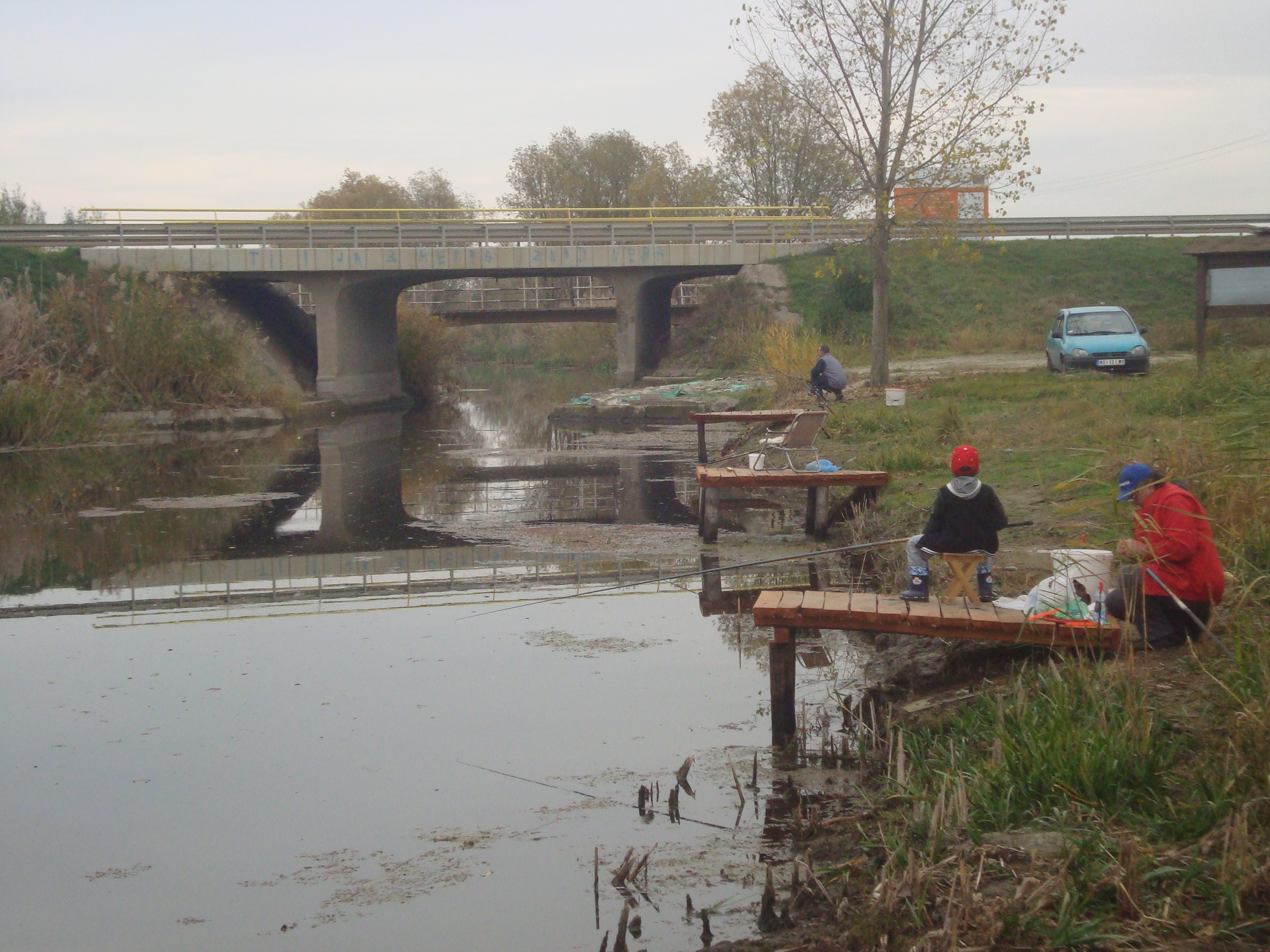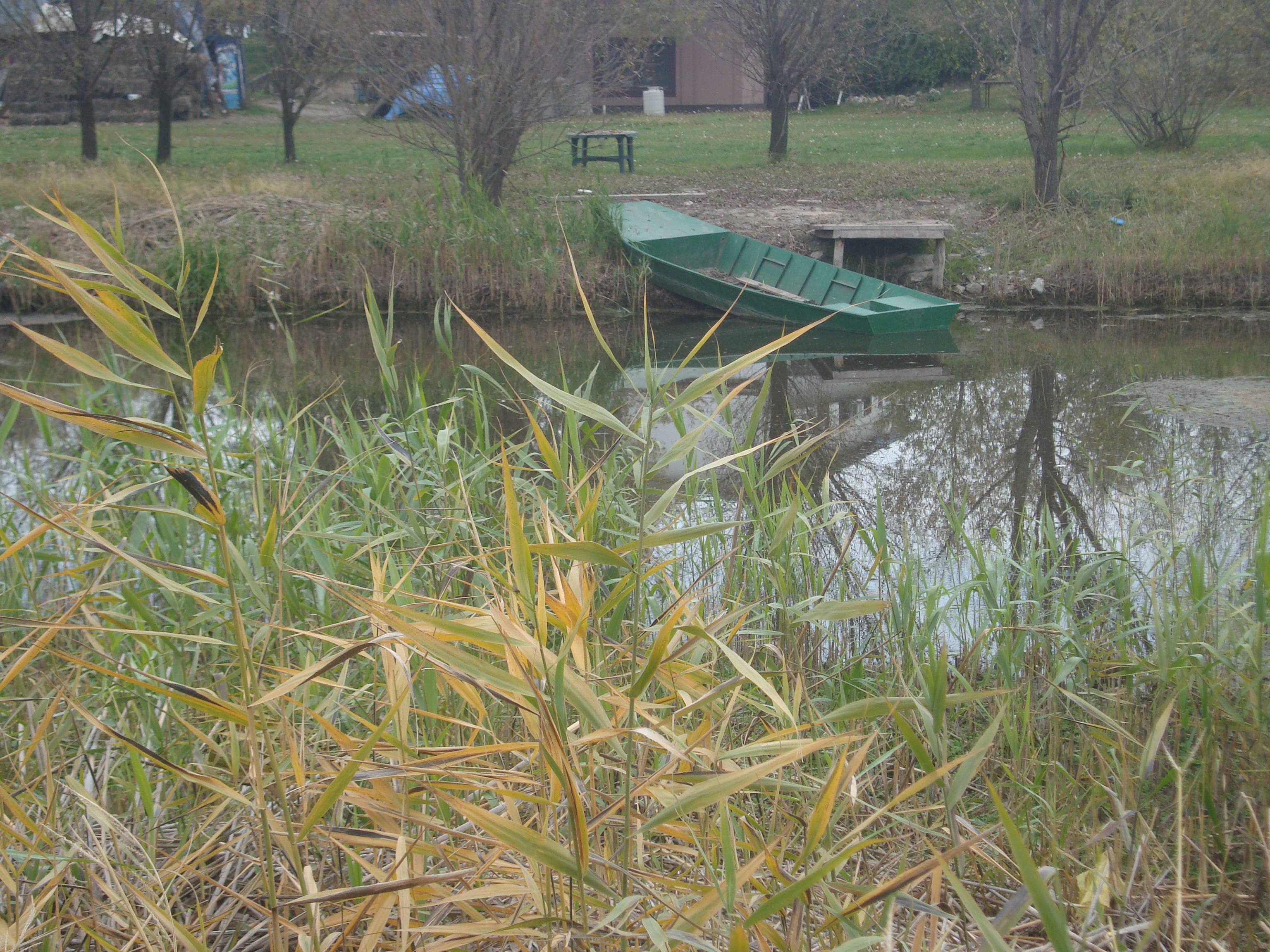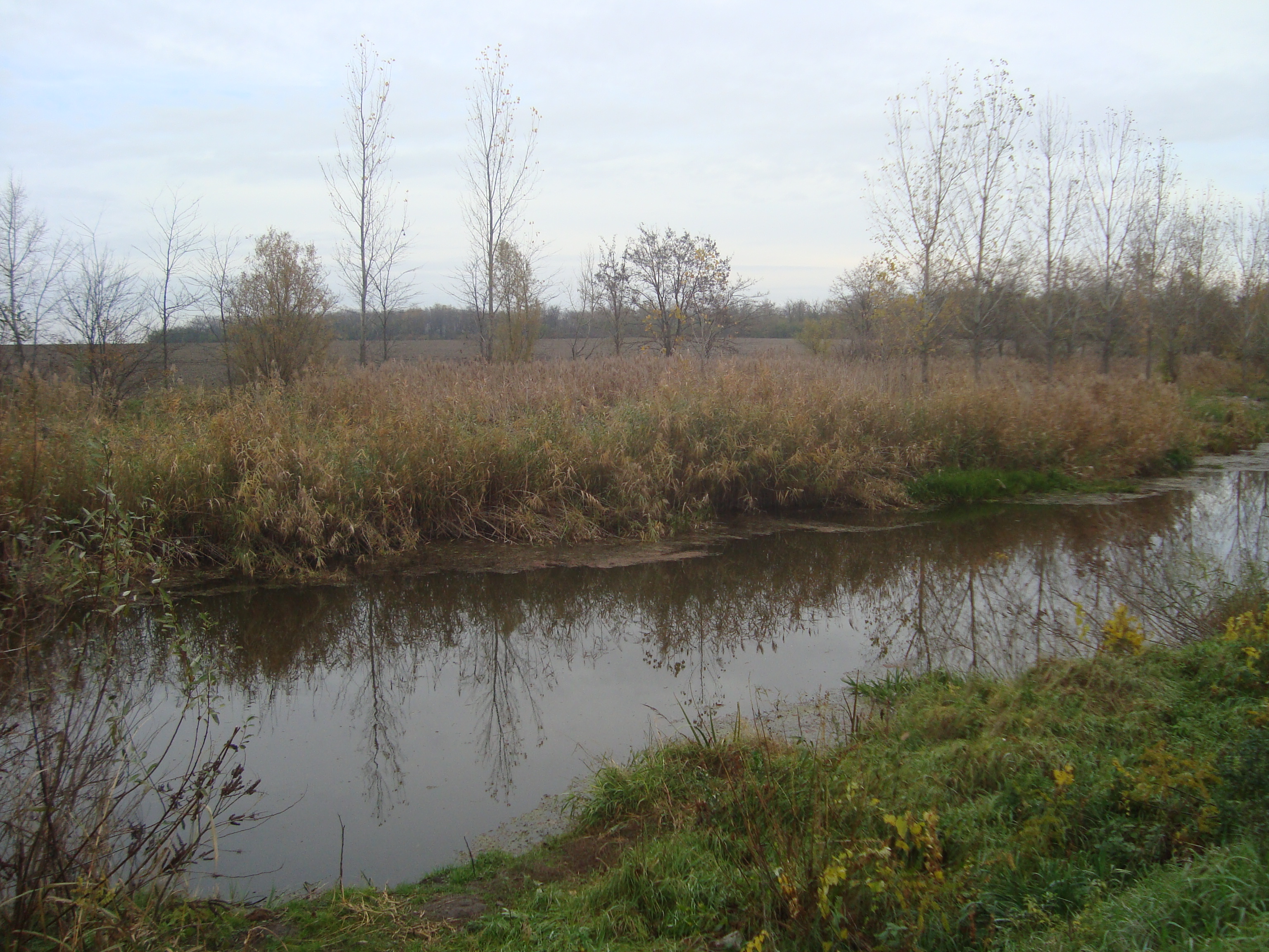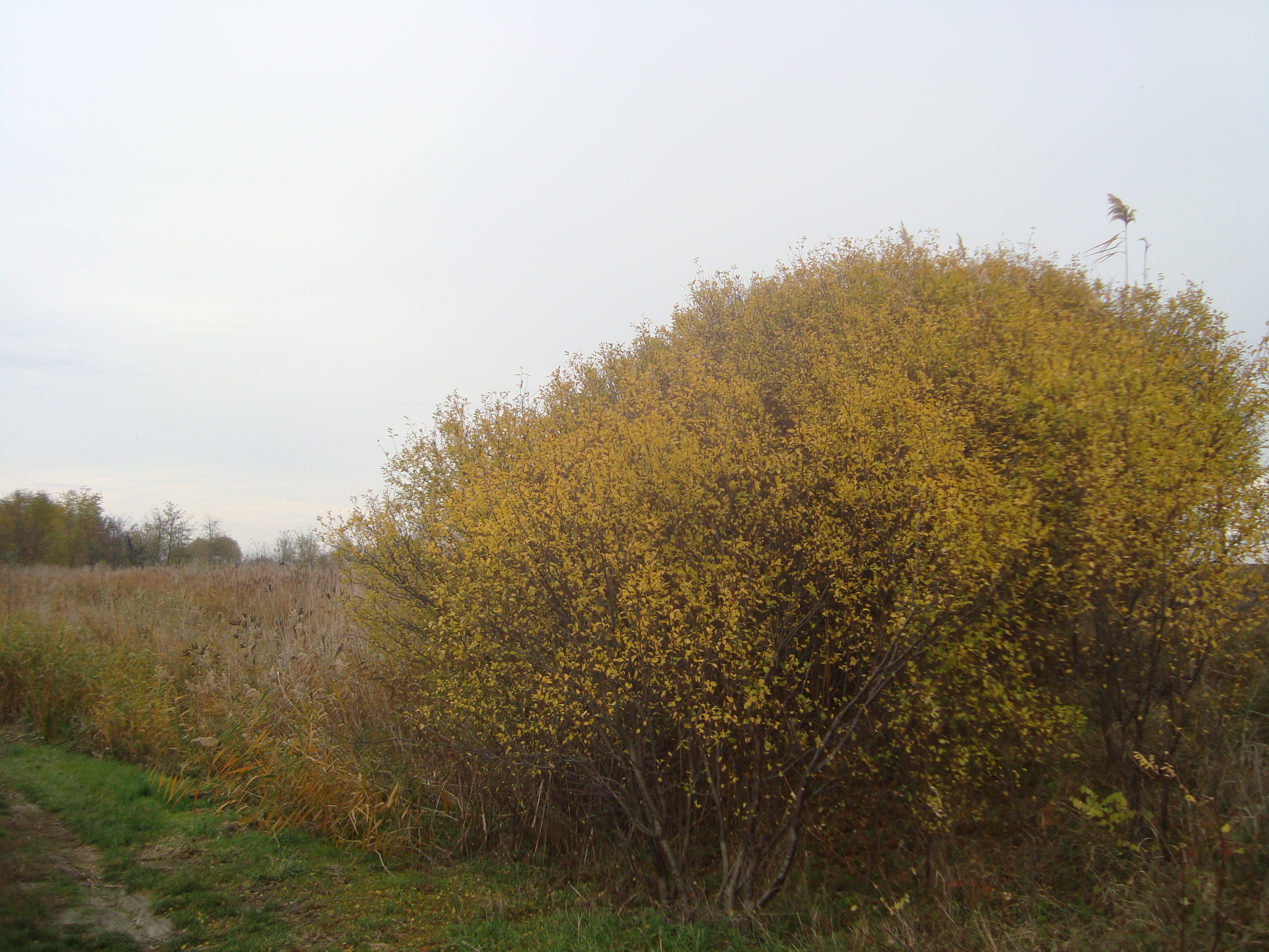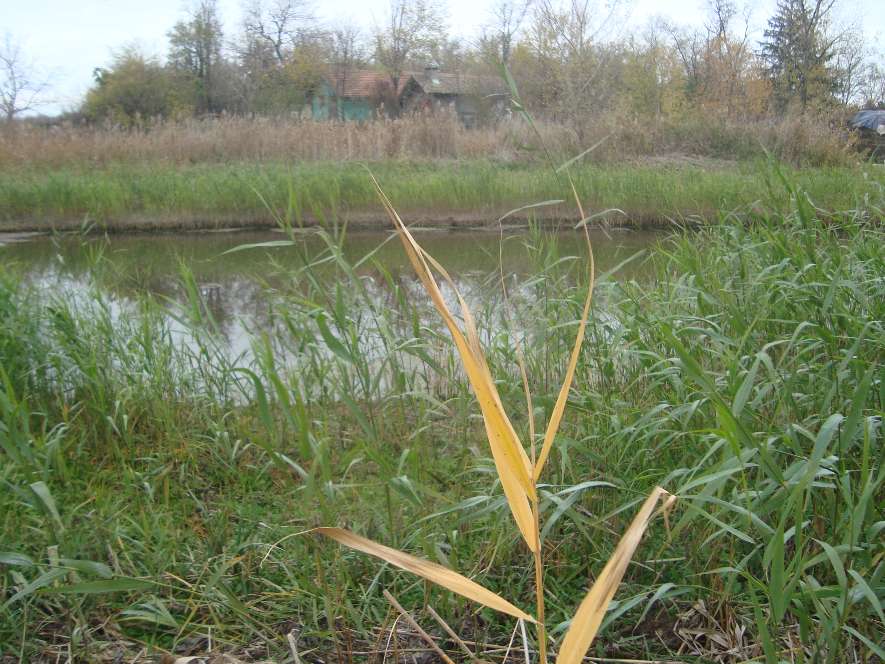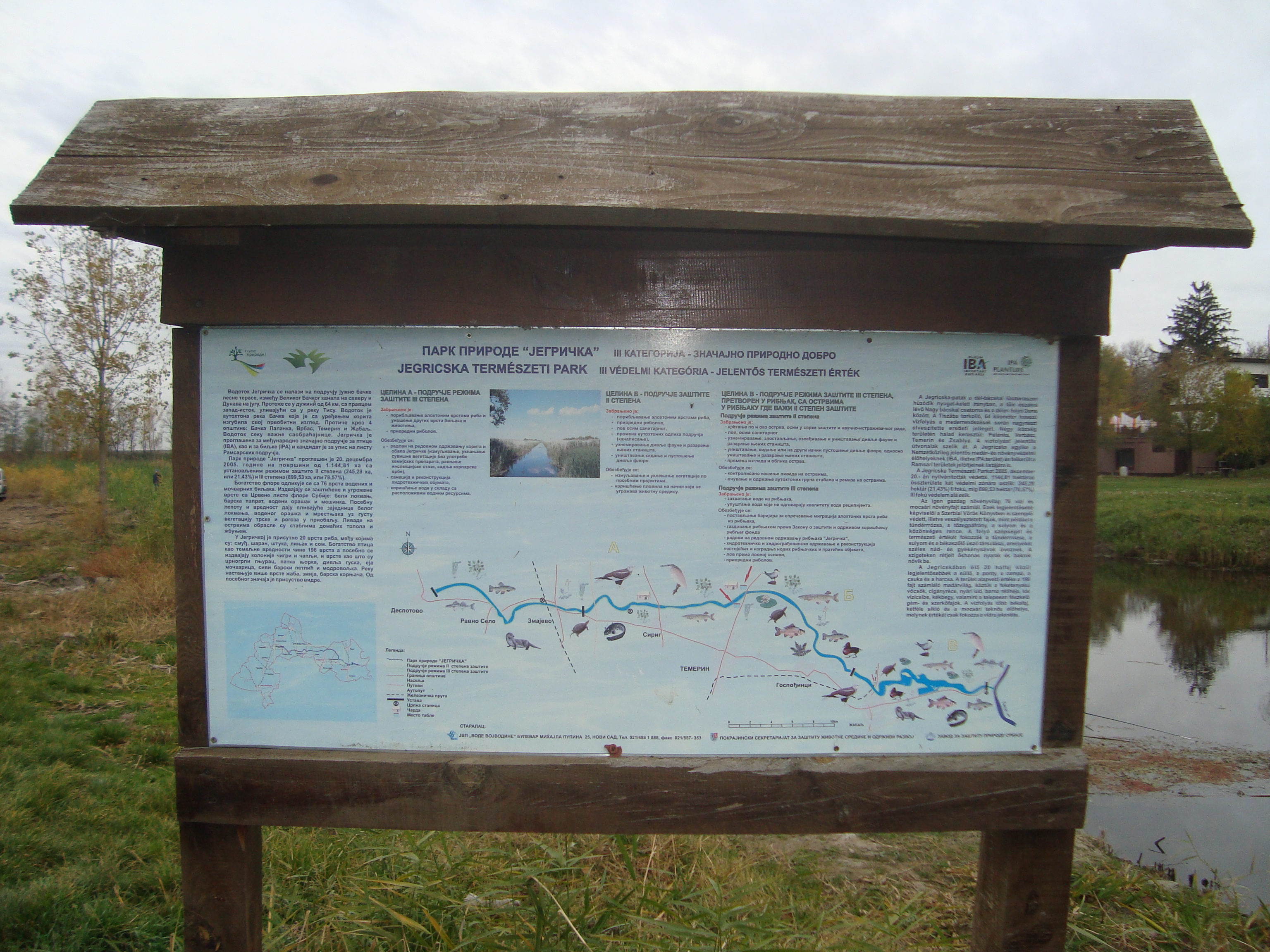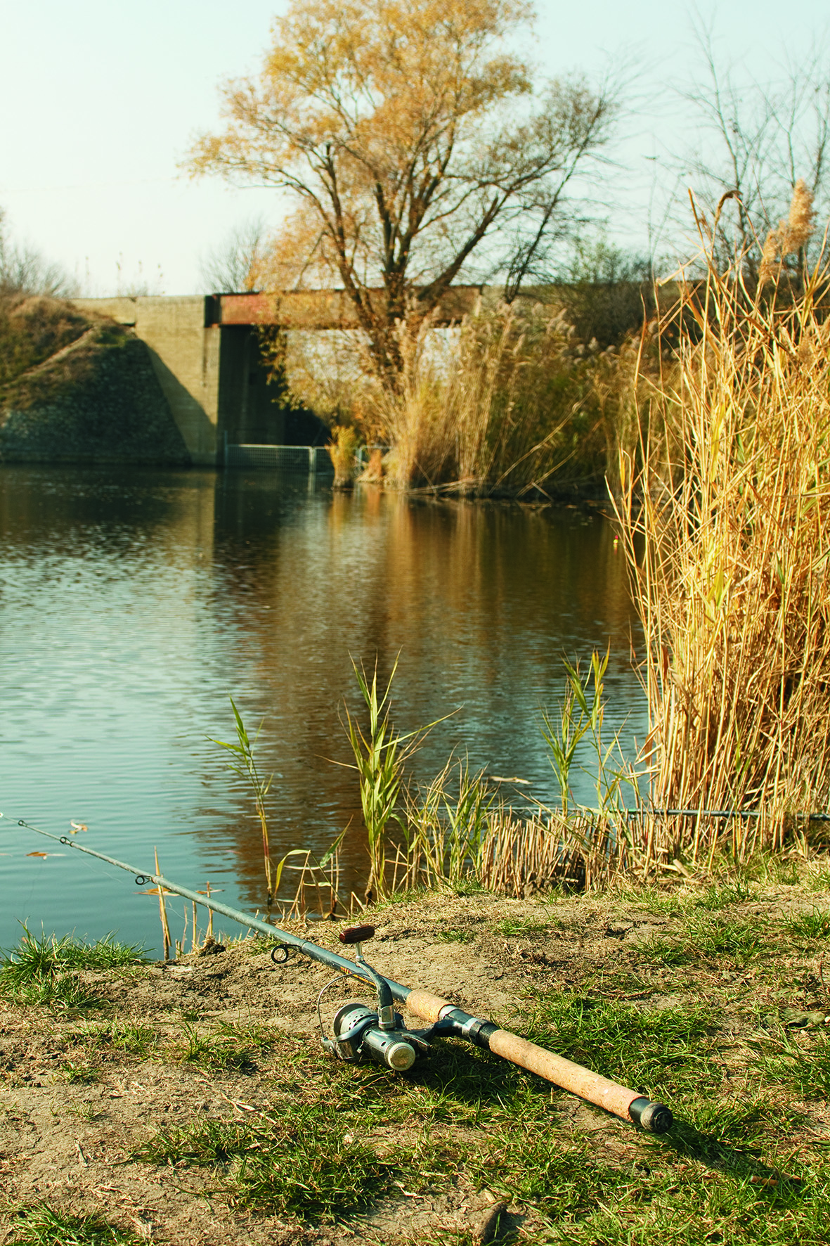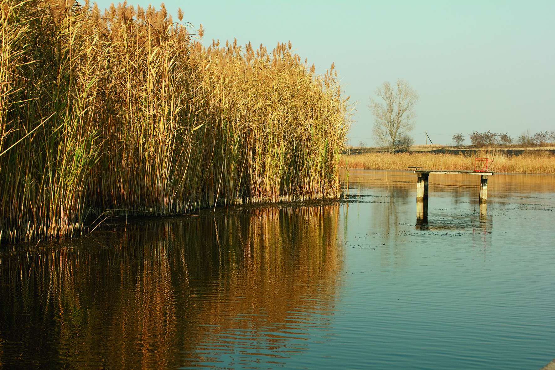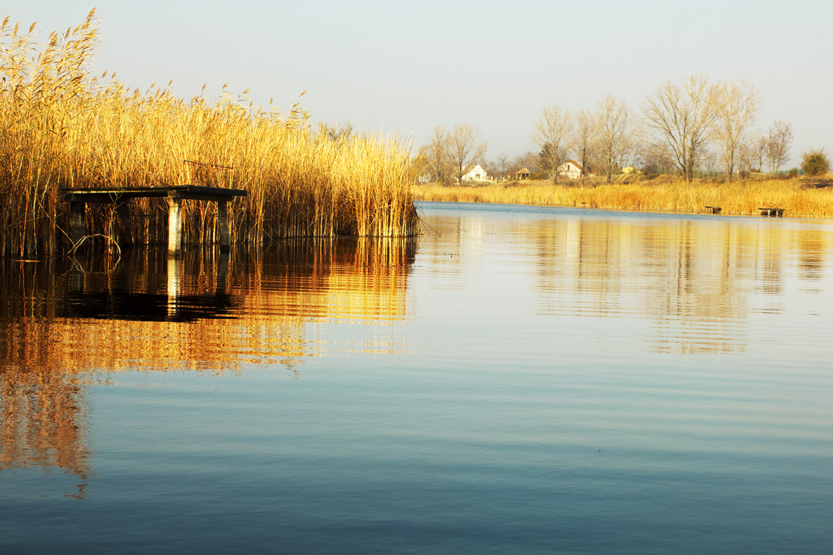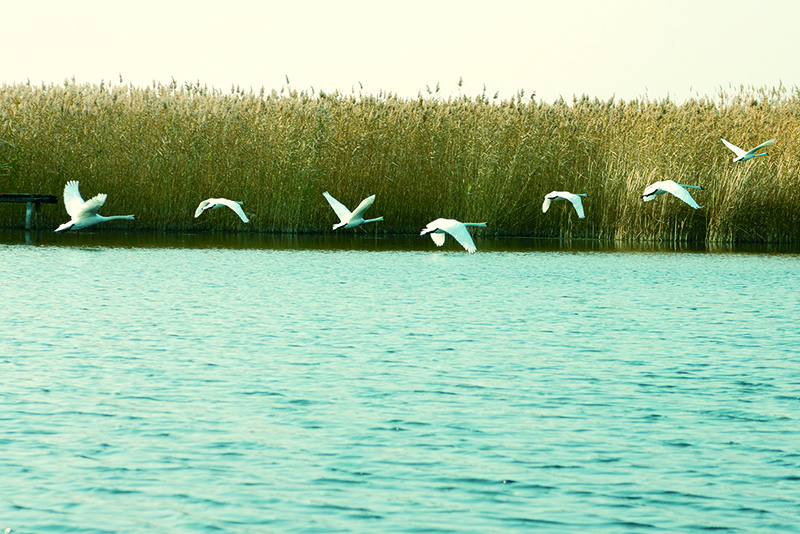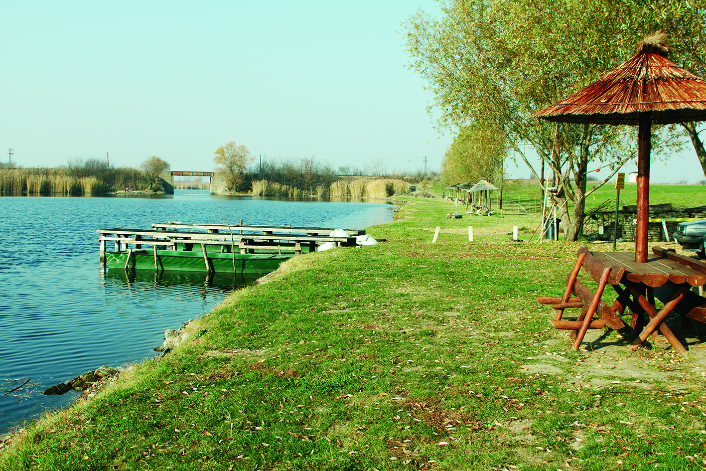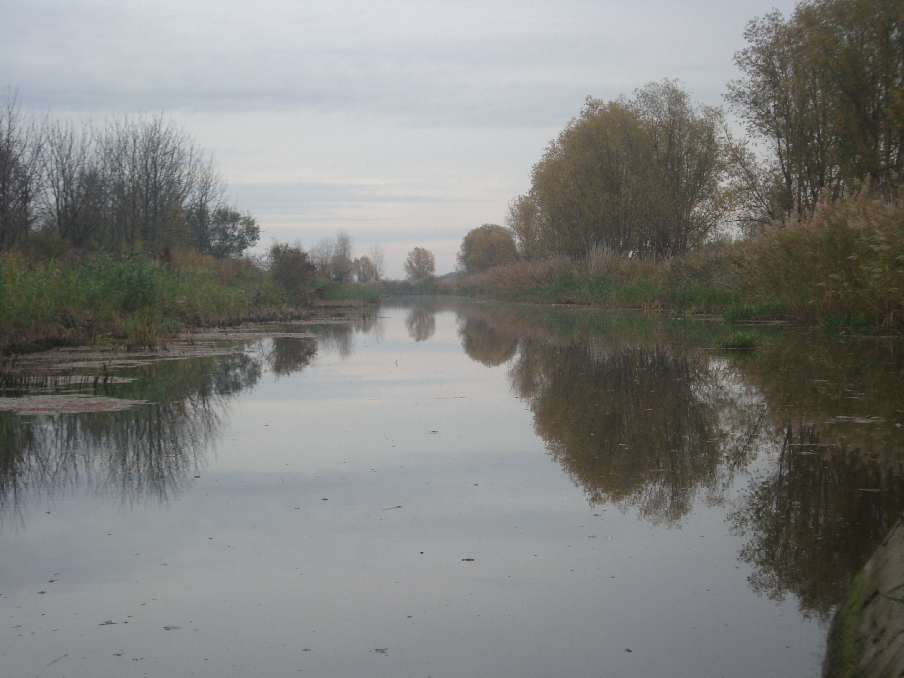
The catchment area of the Jegrička was formed in the area of southern Bačka, or on its loess terrace. It covers an area of 144,200 ha, with an elongated shape of a basin of about 100 km, with an average width of 14.5 kilometers. The first display of the Jegrička watercourse dates back to 1762 on the maps of the Bačka – Bodroš County. The Jegrička today is the right tributary of the Tisa. Although the largest and longest watercourse in the southern Bačka is 65km long, it is not a real river, a whole range of ponds connected with wider or shorter basins. Its natural beginning is in the area of Despotovo, Silbaš, Paragovo, Ratkovo and Pivnice. At Despotovo, the depressions merge – the legs of the Jegrička form a single watercourse, which is flown into the Tisa at the 37th kilometer near Žabalj. At the end of 2005, the municipality of Žabalj passed the decision on the status of the Jegrička Nature Park. The decision was later accepted by the municipalities through which Jegrička catchment area – Bačka Palanka, Vrbas, and Temerin. The care over the Jegrička Nature Park was entrusted to the Public Water Management Company of Vojvodina. The Jegrička Nature Park is rich in flora and fauna. Special beauty of the Jegrička is in white water rose, marsh fern, water caltrop, and bladderwort, and protected species of fish. The presence of otter is of great importance. The Jegrička was proclaimed an internationally Important Bird and Biodiversity Area (IBA) for protection and is a candidate for enrollment to the List of Wetlands of International Importance as defined by the Ramsar Convention.
Within the park, a new information center was opened in Temerin, which aims to provide visitors with all the necessary information and services, and there is the possibility of organizing one-day excursions and classes in the nature.
http://www.vodevojvodine.com