The Great Plain Blue Tour and the E7 European Long Distance Trail can be found under the independent title of Csongrád County.
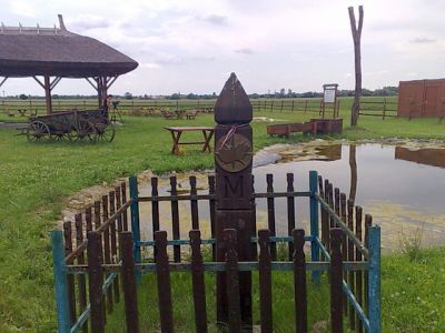
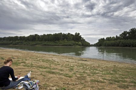
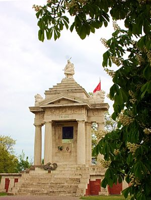
1. Csongrád County Tourist 2. Hike together in Csongrád County 3. Portraits for the typical geographical locations of Csongrád County - The deepest point - Tiszasziget, 75.8m. height. - Highest point - Pentecost, Papok-bok (height 130.5m). - The northernmost point - Pile of pit - The southernmost point - Kübekháza, triple boundary. - Easternmost Point - Csanádpalota, Live Water Main Channel - Westernmost Point - Öttömös, Gát-sori Channel - Center of Csongrád County - Petres - estuary of Tisza-Körös - Tisza-Maros estuary - Szeged 4 The tourist of the Southern Great Plain 5. From Dorog to Nógrád (on the National Blue Tour) 6. Commemoration of the Conquest 896-1996 7. Ödön Téry Memorial Memorial 8. Family trips (Csongrád County Tour Offers)